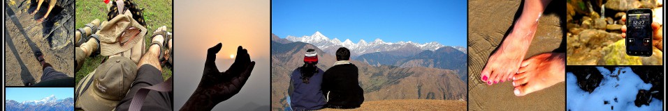
Day 6: October 3
On May 12, 2005, high-altitude mountaineer Ed Viesturs reached the summit of Annapurna, the deadliest mountain in the world in terms of summit-to-kill ratio. In doing so, he became the first American and the sixth person ever to climb all 14 of the 8,000 m peaks without the use of supplemental oxygen.
![Ed Viesturs [Photo Courtesy Pinterest, National Geographic]](https://travellenz.files.wordpress.com/2016/07/roopkundblogupload8.jpg?w=490&h=229)
Ed Viesturs [Photo Courtesy Pinterest, National Geographic]
This should be the philosophy that underlies all mountain treks. After all, it’s only if you get down safely that you get to go back another time.

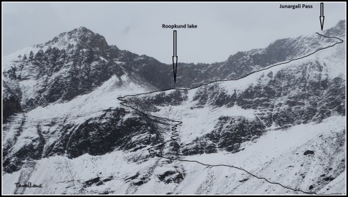
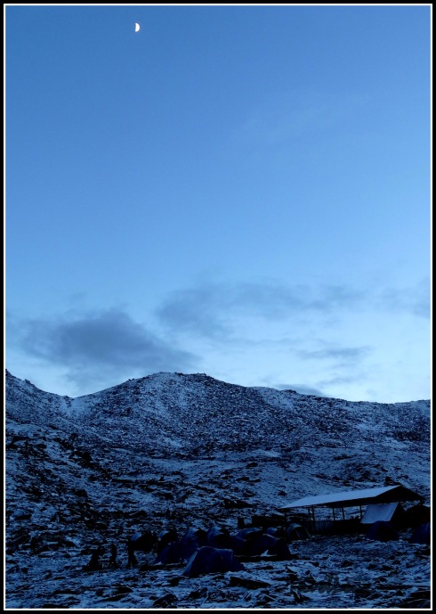
Pathar Nachauni camp
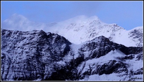
We were to begin our long ‘mandatory’ journey back from Pathar Nachauni to the base camp, Loharjung, today. For going up the 22 km from Loharjung to Pathar Nauchani we took around 17 hours, spread across four days. The return journey was to be completed in a single day. We were to walk for 16 km and we were bypassing Ali Bugyal and Didna village and taking a different route via Bedni Bugyal, Patal Ghaeroli and Wan. We would descend from 12700 ft to 8028 ft (3908 m to 2447 m) in a single day. Incidentally, our return route was also the alternate route from Wan village to Bedni Bugyal.

This was our last day on campground. These tents had been our homes for the past few days. Even though I had some trepidation about staying in a “tent”, I was wonderfully proven wrong.

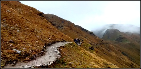
Our march from Pathar Nachauni begins
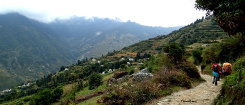
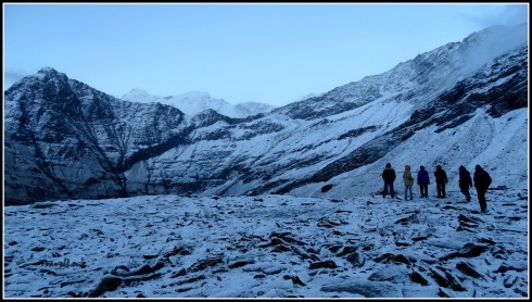
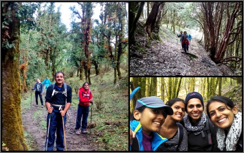
We started from Pathar Nachauni at 08.30 am. The first couple of hours were easy. We were retracing the same steps we had taken a few days back. We passed through Ghoda Lautani and passed onto the other side of the mountain.

The journey back – somewhere between Pathar Nachauni and Ghoda Launtani
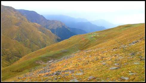
With the promise of a much easier day on the trail with plenty of downhill stretches as opposed to uphill slogs, we thought we’d just sing and walk – we were proved wrong in a couple of hours.
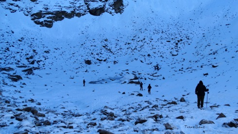
On our way we met a lot of people headed up to Roopkund. There were frequent exchanges of “congratulations” and “all the best” amongst us. At around 10 am, we got our first glimpse of Bedni Kund.

First glimpse of Bedni Kund
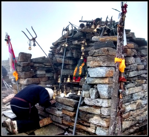
We had to climb down a moderately steep path to reach Bedni valley. We remembered we had seen a few trekkers from another group climb that route on our way to Roopkund. And we thanked ourselves that we did not have to climb that way. Climbing down was not that difficult. We had stepped on to the green carpeted Bugyal lands and were leaving the snow behind us. We passed the colourful camps we had seen on our way up and reached the Kund. Near the Kund were a couple of stone temples.
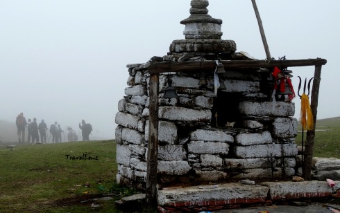
Stone temple at Bedni
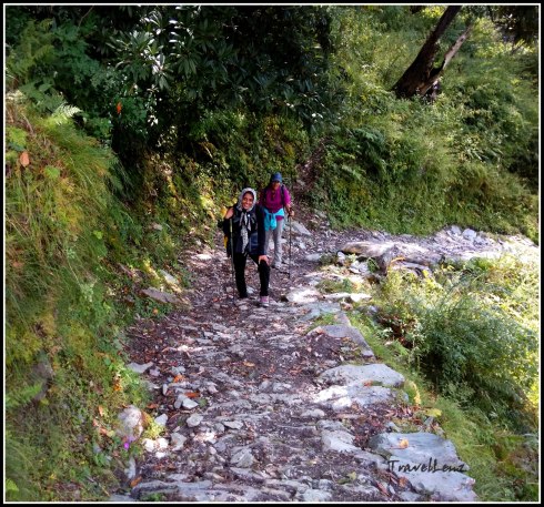
By 10.45 am, we had left the grass lands of Bedni behind. From thereon, begins the steep descent to Neel Ganga. The path was paved with cut stone.
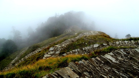
The descent from Bedni begins here
Raj Bhaaiyya asked us to lengthen our poles. Climbing down was harder than we thought as we had to concentrate more, and had to keep a constant vigil on where we placed our foot. Descending constantly is not easy; it takes every ounce of energy and breaks your knees down. I was already feeling a bit sore beneath my toes.

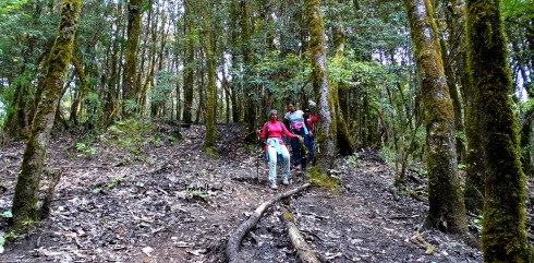
The forest was dark and once in a while the sunlight took a peak through the canopy. But walking within the silent woods gives one an enchanting feeling…. the dry leaves crumbling beneath your feet to indicate your beautiful journey across the forest trail.

Oak forests of Ghaeroli Patal
By 11.20 am we reached the forest camp in Ghaeroli Patal and had our mid-meal. After a quick rest, we were moving again by 11.45 am.

FRH at Ghaeroli Patal
It was a shortcut time for a few – they abandoned the stone trail and went on a sliding spree across the mud and roots.
And I guess the ‘short cutters’ gained a lot of distance as we could see them far away down in the valley.

Spot the trekkers!
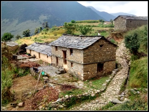
There were small openings in the forest, and as you climb down, you get a peek of the villages through these openings. By 12.45 we got our first glimpse of Wan village…though it looked quite far off.

By this time we could listen to the rushing waters of the Neel Ganga River. We reached the river by 1 pm and spent around 20 minutes resting and dipping our sore toes in the cold water.

At Neel Ganga
From the Neel Ganga River, it took another 30 minutes to climb to a ridge above Wan village. From there began the long journey across Wan village to a place where a vehicle would be carrying us back to the Loharjung base camp, 15 km away.
Walking into Wan Village
The village of Wan, with its numerous chickens, fluffy dogs and beautiful children with cheeks worthy of biting into, looked like any other Uttaranchali village.

We found villagers going about their tasks; it was evening, so most of the women and men were returning home after their chores. Children hovered around greeting us with Namasthes and then asking for chocolates and pens. One smarty guy wanted my water bottle!

Kids at Wan village
As we neared the road head, we met a couple of ladies. One of our team members struck a conversation with them and one turned out to be the ‘Pradhaan’ (chief) of 8 villages, Usha Devi. She offered us fresh produce, juicy cucumbers from her field and tea. A head strong lady, she talked a lot about her life in the village and how she had worked towards getting a road built to the village, stopped people cutting trees on the mountainside, travelled to Lucknow to get her voice heard and to Delhi to give a speech on environmental issues.

Smt Usha Devi (on the left)
By 3.30 pm, we’d reached the road head and our jeeps were waiting for us. We reached our camp in Loharjung by 4 pm.
When I finally limped up the staircase of Patwal Lodge and flung my backpack onto a corner of the dormitory, the realization that I had actually completed the Roopkund trek dawned upon me. At once, I felt fully drained, yet totally alive.
There was a special dinner ordered for us and we were given our certificates of completion, besides being asked to speak about our experiences.
The next day our jeeps came early and we began our long journey back to Kathgodam and then Delhi and back to our respective homes.
![The full team at Roopkund [Courtesy Shivam Singh]](https://travellenz.files.wordpress.com/2016/07/10676294_826593127362619_1289887569193449726_n.jpg?w=490&h=327)
The full team at Roopkund [Courtesy Shivam Singh]

Our guides (clockwise from L to R) Amar, Raj, and Pushkar
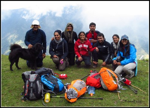
This journey would never have been completed without the help of the friendly support staff from TTH – be it our guides, kitchen staff, porters and even the mules. Last but not the least these adventures wouldn’t have been as fun as it had been without the awesome company we had!
Uma, Ammu, Nithin, Ani, Sabari, Sree and us – let’s climb another mountain!!
Day 6 in a nutshell
- Day 6: Pathar Nachauni to Loharjung
- Distance: 16 km
- Altitude: 12700 ft to 7575 ft
- Terrain: Gradual descent from Pathar Nachauni till Bedni Bugyal. Steep to moderate descent from Bedni to Neel Ganga. From Neel Ganga to Wan gradual descent.
- Difficulty: Easy to moderate
- Time Taken: Around 7 hours


![Kalidak and Trishul [courtesy Ammu]](https://travellenz.files.wordpress.com/2016/04/dscn7115.jpg?w=490)
![Chaukhamba from Aki Bugyal [Courtesy Ammu]](https://travellenz.files.wordpress.com/2016/04/dscn7109.jpg?w=490)


![Bedni Kund [Courtesy Ani & Sabari]](https://travellenz.files.wordpress.com/2016/04/img_5349.jpg?w=490)


![Team @ Pathar Nachauni...and don't miss the pink gloves [courtesy Ani & Sabari]](https://travellenz.files.wordpress.com/2016/04/img_5417.jpg?w=490&h=389)


![[Courtesy Ani & Sabari]](https://travellenz.files.wordpress.com/2016/03/img_5008.jpg?w=490)
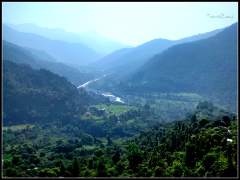
![Countryside [Courtesy Ani & Sabari]](https://travellenz.files.wordpress.com/2016/03/img_5011.jpg?w=490)
![Stone bridge on the way [Courtesy Ani & Sabari]](https://travellenz.files.wordpress.com/2016/03/img_5018.jpg?w=490&h=435)
![[Courtsey Ani & Sabari]](https://travellenz.files.wordpress.com/2016/03/img_5039.jpg?w=490)
![Crossing Bedni Ganga [Courtesy Ani & Sabari]](https://travellenz.files.wordpress.com/2016/03/img_5056.jpg?w=490&h=370)

![Team at Didna [Courtesy Ani & Sabari]](https://travellenz.files.wordpress.com/2016/03/img_5086.jpg?w=490&h=325)


![Kudremukh range [photo courtesy Nithin PM]](https://travellenz.files.wordpress.com/2015/06/nithin1a.jpg)


